Verbos / Maps
Animated travel map for your trip videos
Draw your route from city to city: plane, train, car, photos at each stop and a distance counter. An animated travel map exported as MP4.
What is “Travel route”?
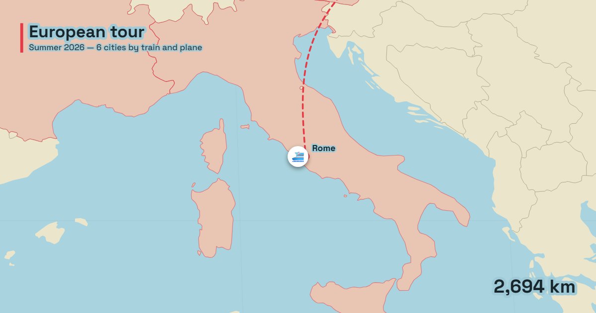
The travel route tool animates a journey from city to city on a map: plane, train, car, bus, boat, bike or walking, with a photo at each stop, the countries you cross filling in and a distance counter. The animated map of travel vlogs, without After Effects.
- Tool
- ✈️ Travel route
- In short
- 7 transport modes · stop photos · 34,000 cities
- Privacy
- Everything happens in your browser: no file is uploaded.
What it is for
Travel vlog
Sum up a three-week road trip in thirty seconds: the cities in order, the transport of each leg and one photo per stop.
Documentary
Follow the route of an explorer, an expedition or a migration, with curved paths for flights.
Social media
A 9:16 trip recap with the total kilometres, stops and countries at the end.
How to use it
- List your stops, one city per line, with the transport of the leg: “Lyon | train”.
- Add one photo per stop (they stay on your computer).
- Set the camera (follows the vehicle, zooms at each stop or shows the whole trip), the line style and the theme.
- Export as MP4.
Ready-made styles
Frequently asked questions
- How does the tool find the cities?
- In a database of 34,000 cities (GeoNames). Type the city name, adding the country if several cities share it.
- Can the duration follow the distance?
- Yes: the “Duration proportional to distance” option makes long legs last longer on screen.
- Can I show a distance counter?
- Yes, it runs during the trip, and a summary (kilometres, stops, countries) can close the video.